01 — Survey
Solar & terrain mapping
Dependable multi-constellation fixes over mountainous solar farms and dense canopy.
Surveying · mapping
Navifort designs CRPA anti-jamming and anti-spoofing GNSS antennas for lawful civil and commercial use — unmanned platforms, autonomous systems, maritime operations, surveying and other high-precision positioning applications.
A snapshot of the commercial environments where Navifort CRPA antennas keep the positioning solution stable.
Dependable multi-constellation fixes over mountainous solar farms and dense canopy.

Steady positioning near high-voltage infrastructure and complex tower geometries.

Consistent spray lines across rolling terrain, with positioning that holds through the pass.

Sealed and temperature-rated for smoke, heat and rain, so the fix holds when conditions do not.
Simultaneous reception across BDS, GPS and Galileo for dependable positioning wherever the platform operates.
Controlled reception pattern antenna technology that maintains a stable fix where the local signal environment is congested.
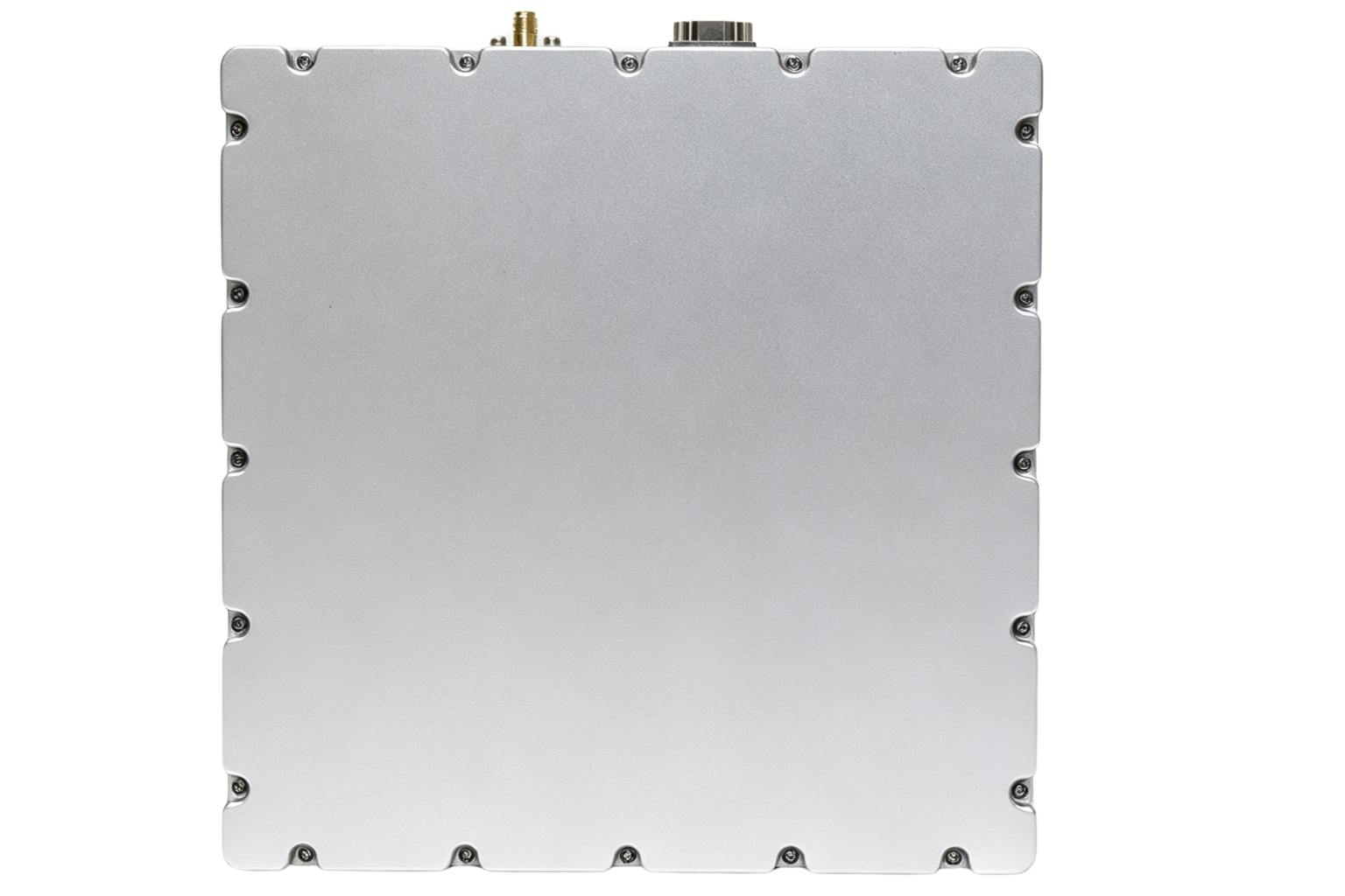
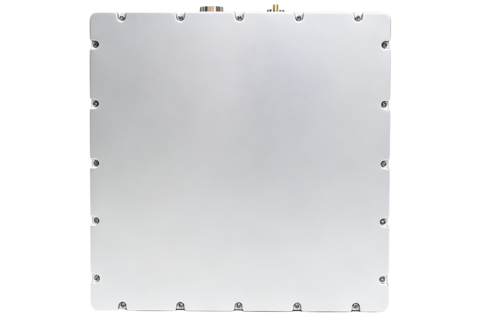
Seven form factors, from a 120 g micro unit to a fixed-installation unit for reference and monitoring sites.
Sealed enclosures validated from −40 °C to +70 °C with salt-fog and vibration testing in our reliability lab.
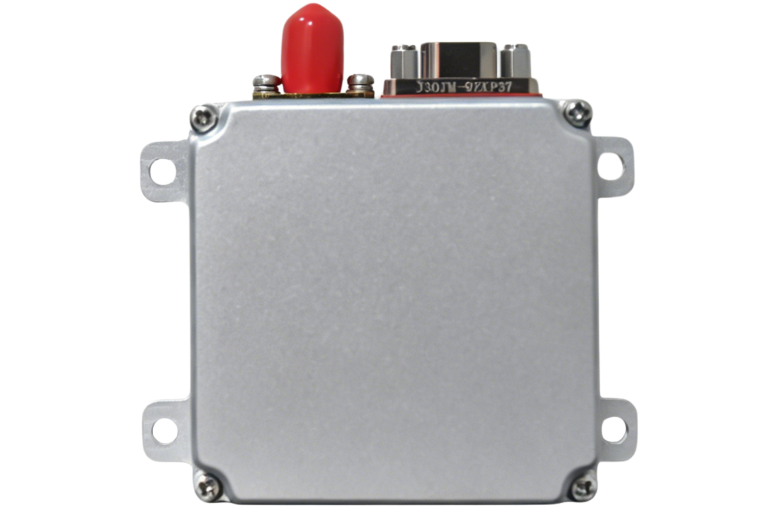
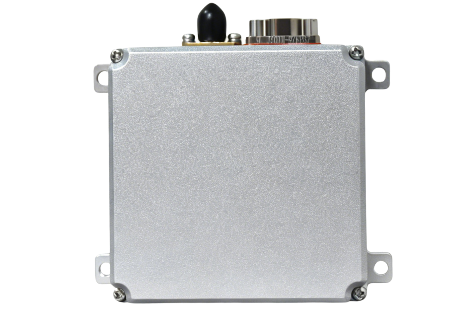
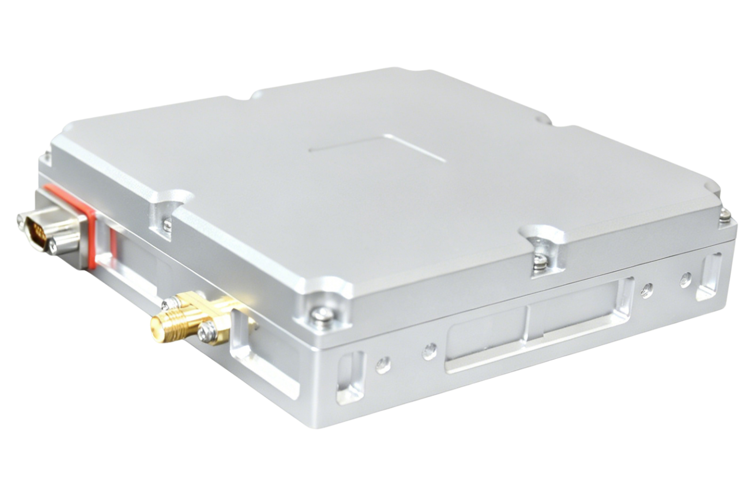
Sealed CRPA units sharing one design language and integration approach, sized from micro platforms up to fixed installations. 7 units available; detailed technical documentation is released after a short application review.
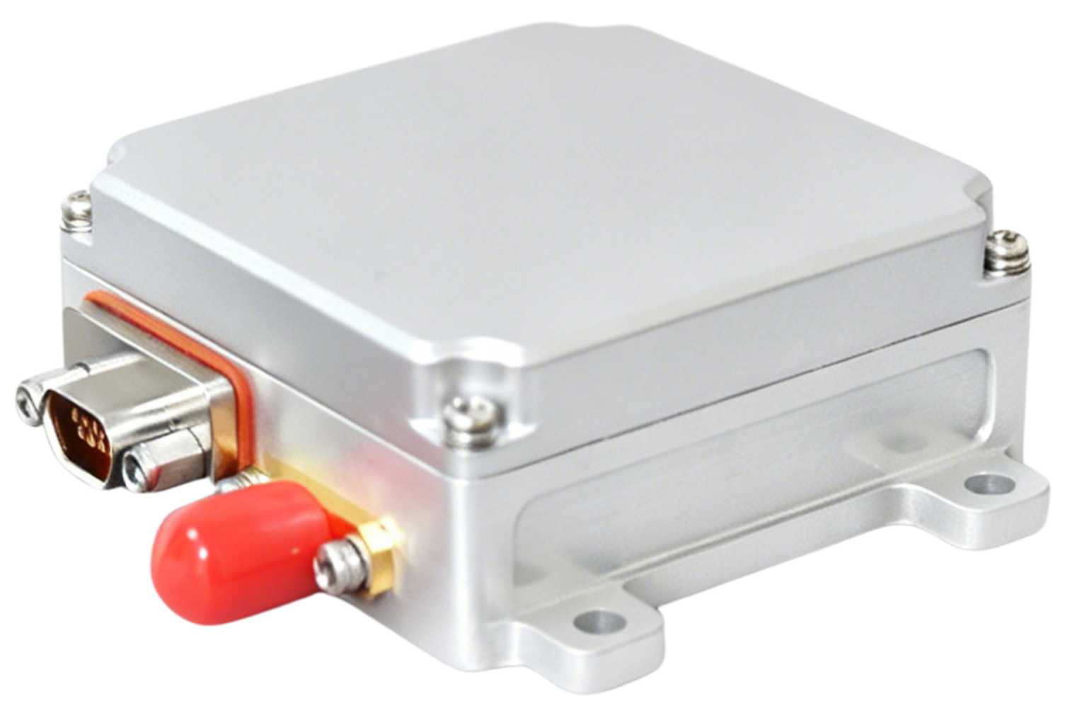 01
01Micro unmanned platforms
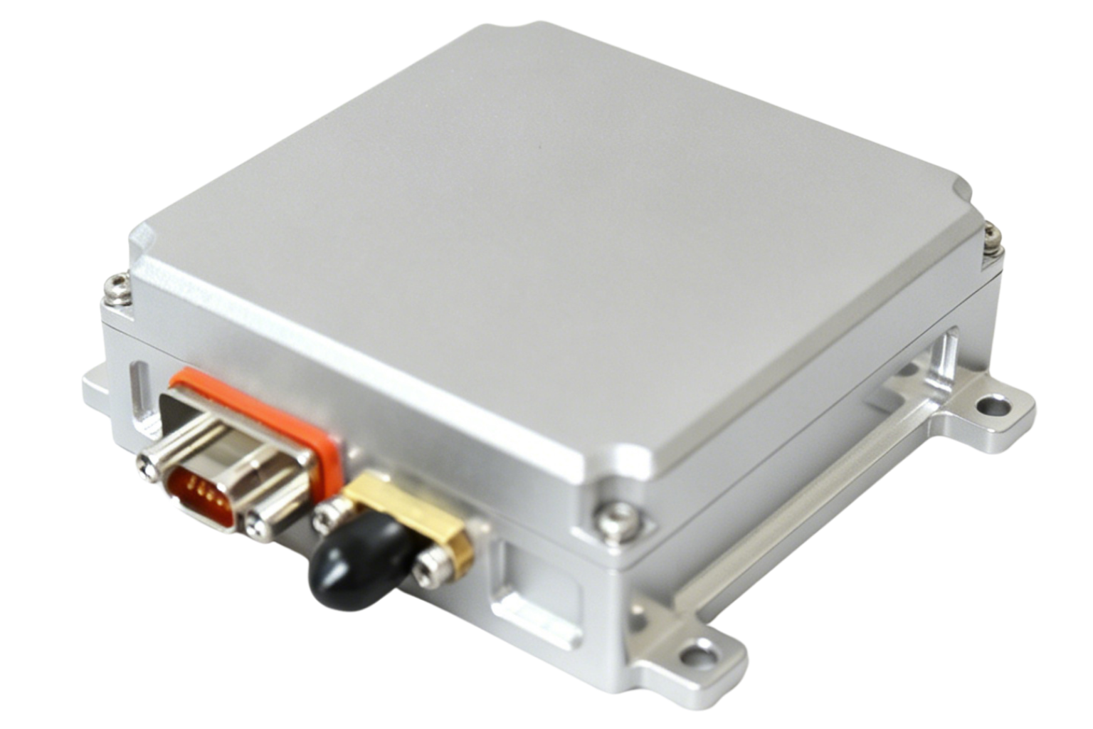 02
02Small unmanned platforms
 03
03Small and medium unmanned platforms
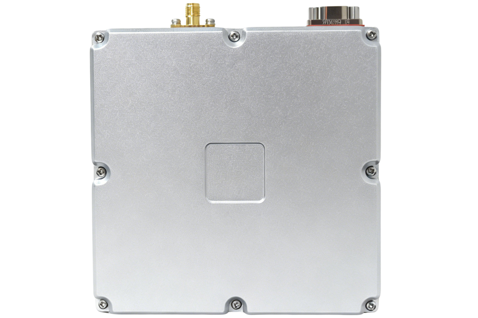
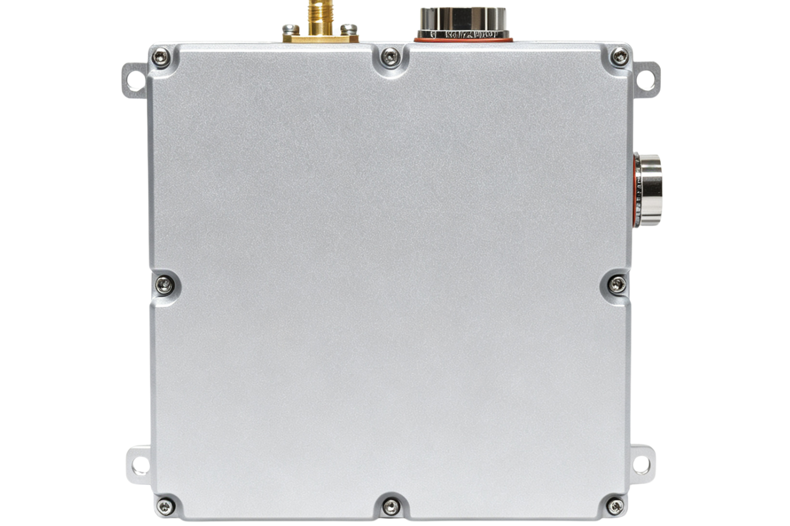
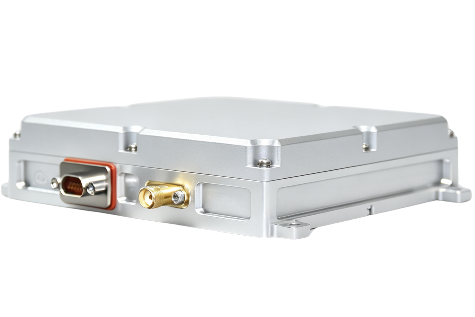
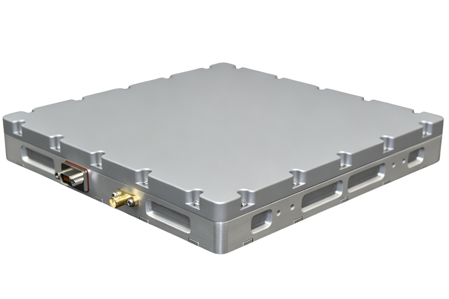
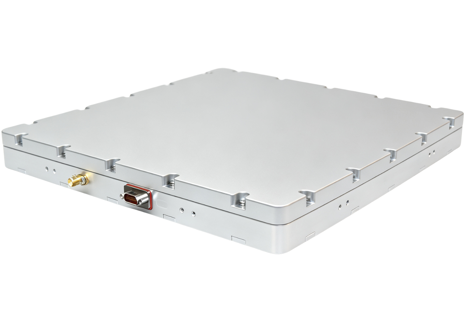
Four CRPA units that combine interference rejection with signal-integrity checking, so positioning stays trustworthy where both interference and misleading signals are a concern. 3 units available; detailed technical documentation is released after a short application review.
 01
01Small and medium unmanned platforms
 02
02Heavy-lift and multi-payload platforms
 03
03Large platforms and ground stations

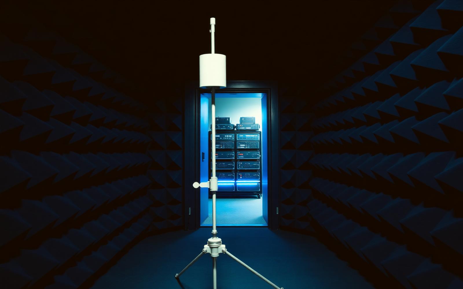

Instrumented inspection of every incoming component batch.
Automated GNSS test line with full-process traceability.
Temperature, vibration and salt-fog cycling per profile.
Live-sky verification before release to the customer.
Our products are supplied for civil and commercial use. Every enquiry is reviewed against our Civil Use Policy before technical documentation is released.
Share your application and we will recommend a configuration, then release technical documentation after a short review.