01 — Survey
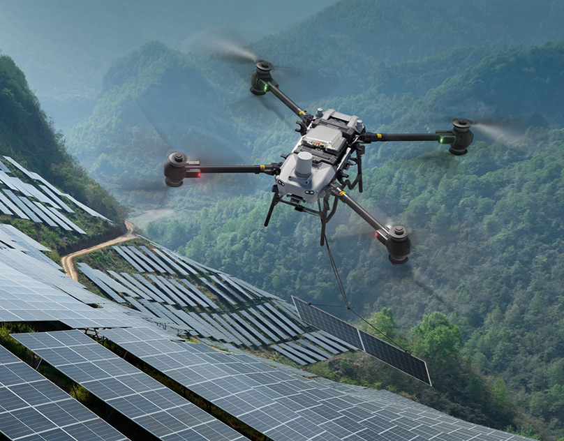
Solar & terrain mapping
Dependable multi-constellation fixes over mountainous solar farms and dense canopy.
Surveying · mapping
Navifort products are supplied for lawful civil and commercial use. The applications below reflect the sectors we work with most often — if yours is not listed, tell us about it and we will assess the fit.
Our products are supplied for civil and commercial use. Every enquiry is reviewed against our Civil Use Policy before technical documentation is released.
Multirotor and fixed-wing platforms operating over infrastructure, farmland and open terrain.
Aerial and mobile survey work where positioning quality determines the value of the dataset.
Uncrewed surface vessels, port equipment and coastal survey platforms.
Autonomous vehicles and site equipment operating on private and industrial sites.
Inspection routes close to high-voltage infrastructure and dense metal structures.
Spraying, seeding and field mapping that depend on repeatable line accuracy.
Canopy survey, environmental monitoring and land management programmes.
Route-based commercial delivery platforms operating in built-up areas.
Search, assessment and situational awareness flights for civil response organisations.
Primary customers: commercial drone manufacturers, autonomous vehicle programmes and uncrewed surface vessel builders.
A snapshot of the commercial environments where Navifort CRPA antennas keep the positioning solution stable.
Dependable multi-constellation fixes over mountainous solar farms and dense canopy.

Steady positioning near high-voltage infrastructure and complex tower geometries.

Consistent spray lines across rolling terrain, with positioning that holds through the pass.

Sealed and temperature-rated for smoke, heat and rain, so the fix holds when conditions do not.
Describe the platform, the site and the constraints. We will tell you which unit is appropriate — or tell you honestly if none of them are.